|
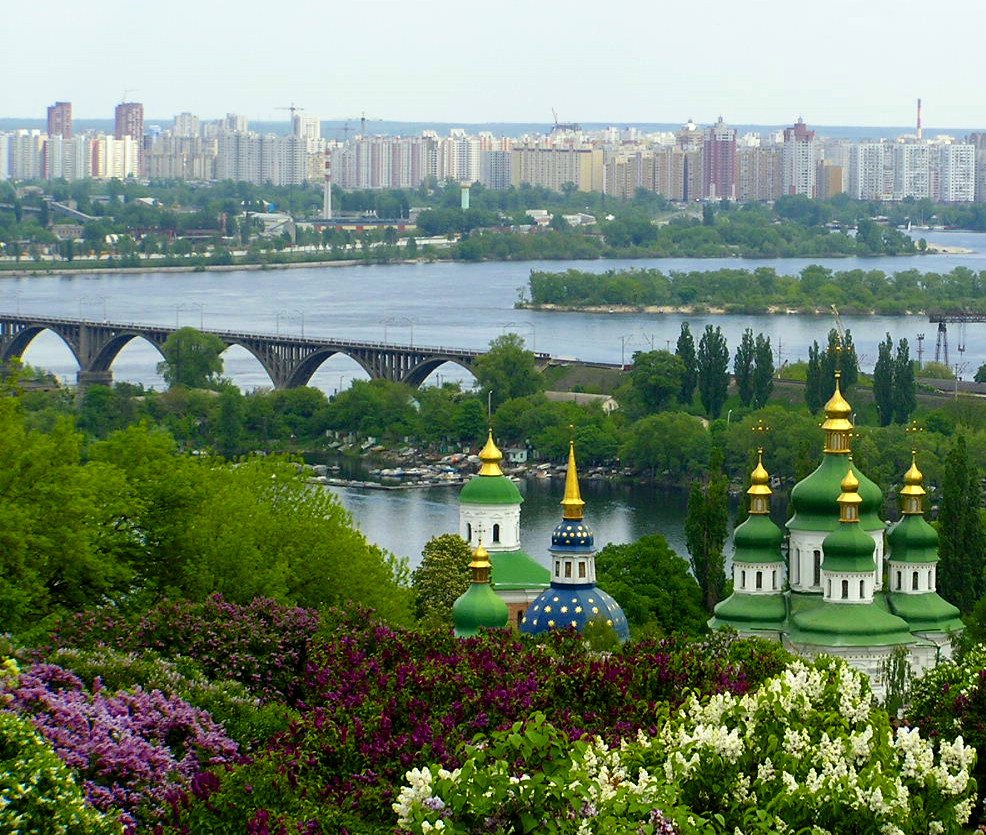
Dnieper River in ancient Greek (Danapris in Latin of the 4th century). The largest river in Ukraine and the third largest in Europe (after the Volga River and the Danube River). From the dawn of history the Dnieper has been closely bound up with the life of the Ukrainian people. It is the ‘holy river’ of Ukraine. Its length is 2,285 km, of which 485 km lie within the Russian Federation, 595 km within Belarus, and 1,095 km within Ukraine. The Dnieper Basin covers 504,000 sq km, of which 289,000 sq km are within Ukraine (48 percent of its area).
The basin occupies 42
percent of the territory of the Ukrainian state and 36 percent of Ukrainian
ethnic territory. The Dnieper flows south through the center of Ukraine and bisects its natural zones — forest,
forest-steppe, and steppe — interconnecting them and connecting them with the Black Sea. Of the long-settled principal areas of Ukraine, only Galicia,
western Volhynia, and Transcarpathia lie beyond the basin of the Dnieper.
Travel is easy fr om the Dnieper Basin to basins northwest of it — the Vistula River, the Neman River, and the Daugava River, but difficult to other basins, such as the basins of the Dniester River, the Boh River, the Volga River, and the Don River. Easy communications between the Dnieper River, the Prypiat River, and the Buh River by means of the Vistula facilitated the expansion of Poland into Ukraine. The Dnieper's role as a unifying force and gateway to the sea was, however, weakened by a 70 km stretch of rapids in the steppe belt. In spite of this obstacle, the Dnieper was the main axis of the first Ukrainian state — Kyivan Rus'. The nucleus of a second state — the Zaporozhian Sich — arose on the Dnieper. The river is the artery of Ukraine, its main highway, and its source of hydroelectric power.
Physical geography. The Dnieper is a typical river of the plains, sloping gently and flowing slowly. The water level varies considerably, and the riverbed is unstable. There are many shallow parts, but relatively few turns. The Dnieper Rapids, which today are submerged, are a peculiar feature of the Dnieper. The river's general southerly flow can be broken up into several sections: fr om its source to Orsha (Vitsebsk oblast) the Dnieper flows southwest, then south to Kyiv, then southeast to Dnipropetrovske, then south for 90 km as far as Zaporizhia, and finally southwest to the estuary. Thus, the Dnieper forms a large open bow to the east, doubling the route from central Ukraine to the Black Sea (to 950 km, although Kyiv is only 450 km from the sea in a straight line).
The river can be divided into three sections: the upper Dnieper from the source to Kyiv (1,333 km, of which 255 km are within Ukraine); the middle, from Kyiv toZaporizhia (536 km), including the above-mentioned stretch of rapids; and the lower, from Zaporizhia to the sea (331 km).

The slope of the Dnieper between Kyiv and the mouth of the Tiasmyn River is very gentle — 6 cm/km. It becomes steeper wh ere the Dnieper enters the Ukrainian Crystalline Shield. The river dissects the massif for 90 km between Dnipropetrovske and Zaporizhia. Originally it flowed through a narrow, deep (100 m), chiseled valley and formed a typical granite landscape. The riverbed narrowed here to 300–800 m, and at the village of Kichkas near Zaporizhia it contracted to 175 m. Here the renowned Dnieper Rapids rested on a firm, granite foundation. There were 9 rapids and 60 small barriers. The slope of the river reached 50 cm/km, and the current sometimes attained a velocity of 6 m/sec. When a dam was built on the Dnieper above Zaporizhia in 1932 (see Dnieper Hydroelectric Station), the rapids were submerged under Dnieper Reservoir, and the landscape changed completely.
The middle stretch of the Dnieper lies in the forest-steppe (to Kremenchuk) and steppe belts. The rainfall (400 mm near Zaporizhia) is less here than in the upper Dnieper (550 mm in the north). The forest covers scarcely 5 percent of the surface. The tributaries are small; hence, the Dnieper's water volume does not increase in this part of its course.
Below Zaporizhia the Dnieper enters the steppe belt, the dry (300–400 mm of rainfall) Black Sea Lowland. Near Kichkas the Dnieper split into two branches, which encirled a large, steep, granite island — Khortytsia Island — on which the Zaporozhian Sich once stood. The valley here was 4 km wide. Farther on the valley widened to 20 km before the Kakhivka Reservoir was built, and the river divided into many branches as it flowed through the muddy flatland, which became flooded in the spring and during heavy summer rains. This floodplain was covered by islands of deciduous forests, wet meadows, lakes, and swamps, which were overgrown with reeds and bulrushes. The largest floodplains — the Velykyi Luh (20 km wide by 60 km long) — stretched from the Dnieper to its left-bank tributary the Konka River and were separated from the broad Bazavluk River floodplains by a narrow stretch of floodplains near Nykopil. Then the Dnieper again became narrow (floodplain 3–7 km wide, wh ereas it is 10 km wide at the Dnieper's mouth). Both banks were high down to Kakhivka, and then the left bank became low. The Dnieper Valley above Kakhivka changed after a second large dam was constructed on the Dnieper near Kakhivka, and the large Kakhivka Reservoir (2,155 sq km) was created. It inundated all the floodplains.
|